RECOMMENDED
BUSINESS IN KERALA


For More Details Please Visit their Page CLICK HERE FOR DETAILS

For More Details Please Visit their Page CLICK HERE FOR DETAILS

For More Details Please Visit their Page CLICK HERE FOR DETAILS


For More Details Please Visit their Page CLICK HERE FOR DETAILS

For More Details Please Visit their Page CLICK HERE FOR DETAILS

For More Details Please Visit their Page CLICK HERE FOR DETAILS

For More Details Please Visit their Page CLICK HERE FOR DETAILS
Local Bodies
Panchayaths, Municipalities, Corporations
Formation Year - 1953 Area - 29.47 Sq.Km District - Ernakulam Block - Muvattupuzha Nearest Railway Station - Ernakulam Junction, Ernakulam Town Railway Station Nearest Airport - Cochin International Airport (COK) Nearest City - Muvattupuzha Phone - +91...

Formation Year -1962 Area - 10.08sq km District - Kannur Block -Thalassery Nearest Railway Station - Kannur Railway Station Nearest Airport - Calicut International Airport Nearest City - Kannur

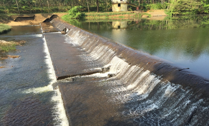
Area - 37.8 sq.km. District - Wayanad Block - Panamaram Nearest Railway Station - Palghat Town Nearest Airport - Calicut International Airport Nearest City - Kalpetta
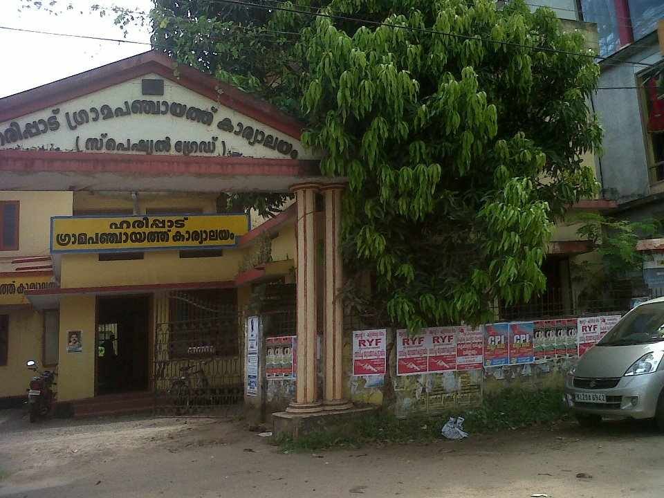
District - Alappuzha Nearest Railway Station - Haripad Railway Station Nearest Airport - Cochin International Airport (COK) Nearest City - Haripad Address - Haripad Alappuzha Kerala India Pincode - 690514 Phone : 0479-2412766