RECOMMENDED
BUSINESS IN KERALA


For More Details Please Visit their Page CLICK HERE FOR DETAILS

For More Details Please Visit their Page CLICK HERE FOR DETAILS

For More Details Please Visit their Page CLICK HERE FOR DETAILS

For More Details Please Visit their Page CLICK HERE FOR DETAILS

For More Details Please Visit their Page CLICK HERE FOR DETAILS

For More Details Please Visit their Page CLICK HERE FOR DETAILS

For More Details Please Visit their Page CLICK HERE FOR DETAILS

For More Details Please Visit their Page CLICK HERE FOR DETAILS
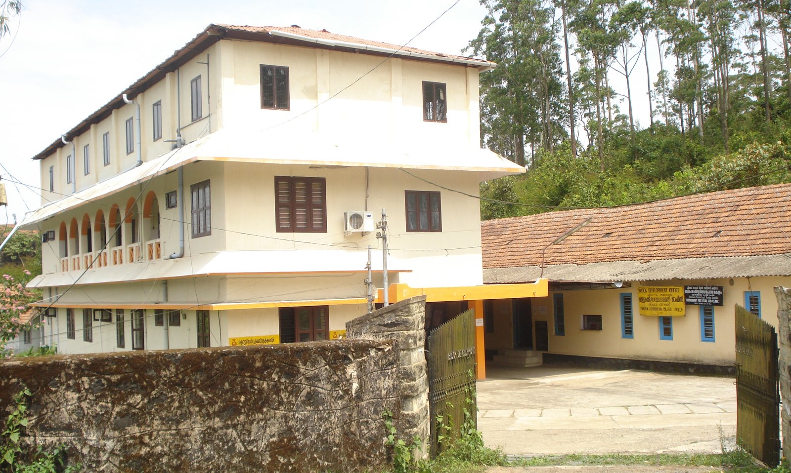
Local Bodies
Panchayaths, Municipalities, Corporations
Formation Year - 1952 Area - 1236.32 Sq.Km District - Idukki Number of Wards - 13 Nearest Tourist Places - Suicide Point Elephant Junction Thekkady Kalyanathandu (Calvari Mount) Gavi, Kerala Nearest Railway Station - Ettumanoor Railway Station Nearest Airport...
Area - 11.25 Sq.Km District - Ernakulam Block - Vypin Nearest Railway Station - Ernakulam Junction, Ernakulam Town Railway Station Nearest Airport - Cochin International Airport (COK) Nearest City - Vypin

Formation Year - 1978 Area - 24.05 Sq.Km District - Ernakulam Number of Wards - 30 Boundaries - North(Mookkannur Panchayath) South(Nedumbasseri & Kanjuri Panchayath) East(Kaladi & Thuravoor Panchayath) West(Nedumbasseri & Paarakadavu Panchayath) Nearest...
Area - 59.9 sq.km. District - Malappuram Block - Vandoor Nearest Railway Station - Vaniyambalam Railway Station Main Railway Station - Calicut Railway Station Nearest Airport - Calicut International Airport Nearest City - Vandoor